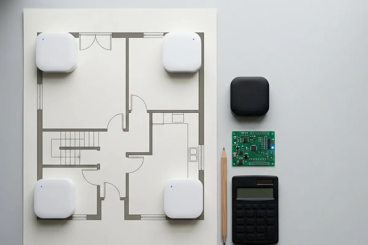
A venue manager collects three vendor quotes, all labeled “indoor mapping software.” One includes a mobile-friendly search box, QR codes at every entrance, and turn-by-turn directions. Another is just a georeferenced floor plan file, a flat image with coordinates attached, nothing a visitor ever sees. Same term in every pitch deck. Two completely different products on the table.
That mismatch is the whole reason “indoor mapping software” and “wayfinding software” get used as if they mean the same thing.
They don’t.
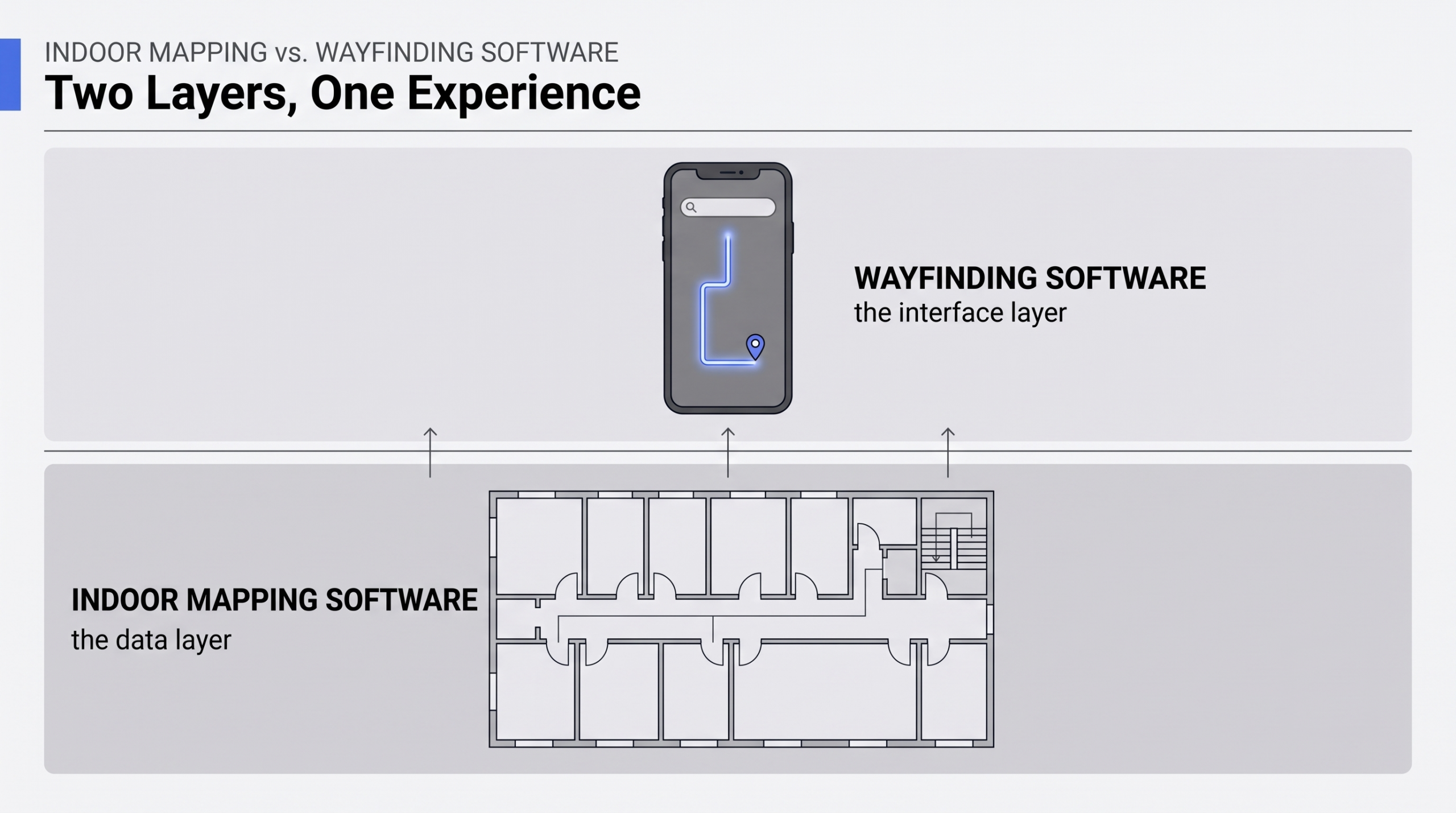
Indoor mapping software is the data layer. It turns a building’s CAD floor plan into structured digital objects, rooms, corridors, stairwells, elevators, that a computer can actually route through. Wayfinding software is the layer on top of that: the search box a visitor types into, the QR code they scan, the walking directions that show up on their phone. One is the map. The other is what a person does with it.
Why the two get sold as one thing
Most buyers searching “indoor mapping software” are not looking for a raw data file. They want visitors to find a booth, a gate, or a store without asking a staff member. That outcome needs both layers working together, so vendors bundle them and market the whole stack under one name. The confusion shows up later, at contract time, when a buyer discovers the quote only covered the mapping layer and the wayfinding experience is a separate line item, or a separate vendor entirely.
Ask which layer is actually in the quote. It’s a five-minute question that avoids a much longer argument in month three.
What indoor mapping software has to get right
The mapping layer starts with a CAD floor plan and has to convert it into a vector map, not a scanned image, with real geometry a routing engine can calculate against. A hallway has to know it connects to a stairwell. A stairwell has to know which floor it lands on. Multi-floor routing across elevators and escalators only works if that structure exists underneath. Deploy the wrong kind of file, a flat picture with pins on it, and none of that routing math is possible. It’ll look like a map. It won’t behave like one.
One source, many surfaces, is the other requirement that gets missed. The same underlying map should drive a lobby kiosk, a mobile browser page, and a printed directory board, without redrawing it three times by hand every time a tenant moves.
What wayfinding software adds on top
This is the part a visitor actually touches. Type a store name or a booth number, and the right floor and route to it should surface immediately, not a static image someone has to squint at. It has to run from a QR code or a link in a mobile browser, because nobody installs an app to spend twenty minutes at one exhibition. Kiosks need the identical map and search running underneath, so a visitor gets the same answer whether they’re on their own phone or standing at the info desk screen.

Get the wayfinding layer right and the mapping layer underneath becomes invisible. Visitors never think about vector data. They just find the gate.
Where both layers run together already
GrowSpace runs this full stack, mapping plus wayfinding, at COEX, Oakwood Premier COEX Center, Kolon Gyeongju Resort, and KINTEX. Same underlying map data, deployed to a kiosk in one location and a mobile browser in another, with search and routing on top at every site. See how that platform works floor by floor →
A department store floor directory is the same problem in miniature: a static board that needs both layers, structured map data underneath and searchable wayfinding on top, to stop customers from wandering.
FAQ
If I already bought a floor plan file from an architecture firm, do I still need mapping software?
Probably. An architectural CAD file describes how a building was built. Indoor mapping software describes how a computer can route through it, which is a different structure and usually needs converting.
Can I buy wayfinding software without the mapping layer?
Only if you already have a properly structured vector map underneath. Most vendors selling “wayfinding” quietly build or license the mapping layer too, because there’s nothing to route through otherwise.
Does one system handle multiple floors and elevators?
That’s the actual test of whether it’s real mapping software. A flat image can label floors. Only a structured map can calculate a route that carries a visitor from floor 2 to floor 5 through a specific elevator bank.
What to check before signing
Two vendor quotes can use identical language and deliver completely different products. Ask which layer, mapping or wayfinding or both, is actually being sold, and ask whether the map data can be redeployed to a kiosk, an app, and a browser from one source. Those two questions separate a real platform from a floor plan with a search bar bolted on.