
Freegrow Selected for Regional Innovation Scale-Up Program by the Ministry of Science and ICT and the Innovation Cluster Foundation

Busan-based Physical AI platform company Freegrow (CEO Kim Young-sik) announced on the 10th that it has been selected for the “2026 Regional Innovation Scale-Up Program,” jointly run by the Ministry of Science and ICT and the Innovation Cluster Foundation. The project period runs approximately 21 months, through December 2027. Through this program, Freegrow plans to […]
Freegrow Selected for DIPS Advanced Manufacturing Track, Evolving Its Single UWB Positioning Device Into Integrated Land-and-Sea Hardware
Freegrow (CEO Kim Young-sik), a Busan-based UWB (Ultra-Wideband) component specialist, has been selected for the Advanced Manufacturing track of the Ministry of SMEs and Startups’ “2026 DIPS Project” (Startups’ Great Leap Forward Project). What Is the DIPS Advanced Manufacturing Track? The DIPS Project is a Ministry of SMEs and Startups program that selects deep-tech startups […]
Freegrow Selected for 2026 TIPS R&D Deep-Tech Track, Advancing AI Agent-Based Autonomous Space Operations
Freegrow (CEO Kim Young-sik) announced on the 8th that it has been selected for the Ministry of SMEs and Startups’ “2026 TIPS R&D Deep-Tech Track.” What Is the TIPS R&D Deep-Tech Track? The TIPS R&D Deep-Tech Track supports technology advancement for deep-tech companies. It provides up to KRW 1.5 billion over as long as 36 […]
Raspberry Pi UWB Indoor Positioning: Read Live Coordinates in 10 Minutes

GPS drops out the moment you walk indoors. Roofs and steel beams block the signal, and Wi-Fi or Bluetooth positioning swings by several meters — nowhere near good enough for a robot, a forklift tag, or anything that needs centimeter accuracy. Here’s the short answer: wire a GrowSpace UWB Creator Kit Q1 developer tag to […]
UWB Kit Price Guide: What Anchors, Tags and Gateways Cost for Indoor Positioning
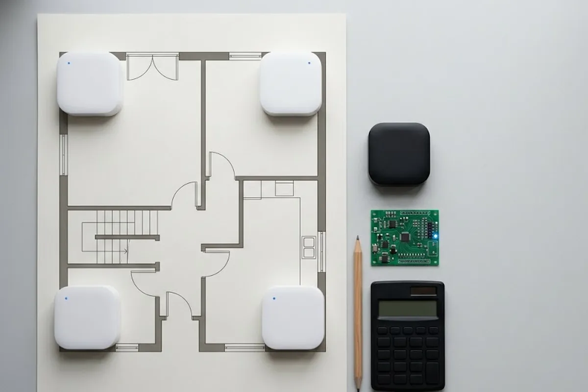
A UWB indoor positioning setup is priced part by part. The total depends on three things: how many anchors cover your space, how many tags you track, and how the data reaches your software. This guide uses GrowSpace Q1 prices in USD. Every price below includes international shipping. Import duties are paid by the buyer, […]
4 UWB Projects You Can Build with the Q1 Development Kit: Robot Heading, Indoor Drones, Follow-Me and Geofencing
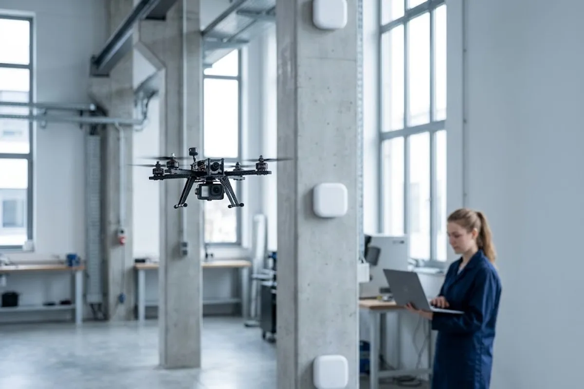
Most people hit the same wall right after their UWB kit arrives. The coordinates are streaming in. Now what do you build? The GrowSpace UWB Creator Kit Q1 is a development kit that gives you indoor coordinates with 10–30 cm accuracy from three anchors, a tag and a listener. Positions come out as plain serial […]
Indoor Mapping Software vs. Wayfinding Software: What’s Actually Different

A venue manager collects three vendor quotes, all labeled “indoor mapping software.” One includes a mobile-friendly search box, QR codes at every entrance, and turn-by-turn directions. Another is just a georeferenced floor plan file, a flat image with coordinates attached, nothing a visitor ever sees. Same term in every pitch deck. Two completely different products […]
Department Store Indoor Maps: What a Floor Directory Misses
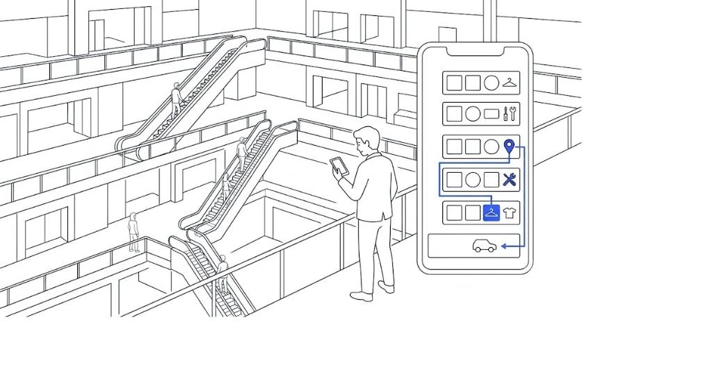
“Which floor is this store on?” An info desk hears some version of that question dozens of times a day. Some stores hand out paper directories. Others bolt a big floor-directory board to the wall. Both need reprinting or repainting the moment a store changes, and in a department store, stores change constantly. A floor […]
Academic Conference Platforms Without Building a Custom App
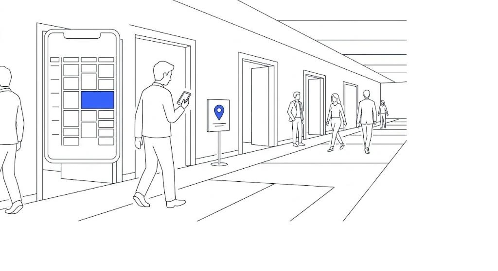
A conference isn’t structured like a trade show. Multiple sessions run at once, split across several tracks, and speaking rooms are scattered across a building. Poster sessions need their own wayfinding on top of that. Standard event apps rarely bend into this shape, which is why so many academic societies end up commissioning a new […]
Exhibition Website and Booth Map: What Happens When You Manage Them Separately
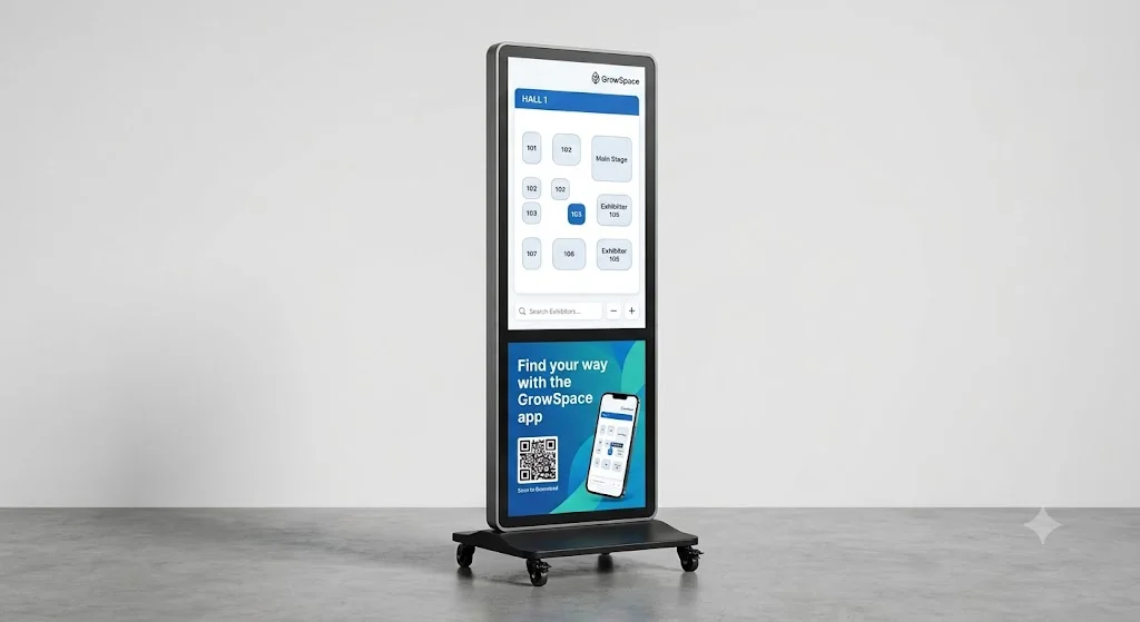
The website is built by one vendor. The booth map comes from another. Exhibitor information lives in a spreadsheet somewhere in between. One event, three separate points of contact, and every time something changes, an organizer has to notify all three by hand. GrowSpace’s exhibition wayfinding kiosk, running the same map and QR wayfinding used […]