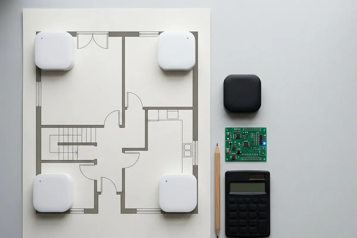
A visitor walks into a 100,000-square-meter exhibition hall holding a folded paper map. Within four minutes, most people give up on it and start asking staff instead. That single moment, someone standing still, phone out, unsure which hallway leads where, is the entire market for indoor navigation software in one picture.
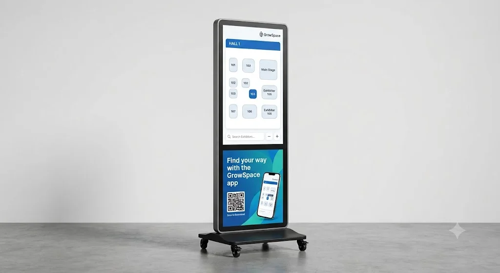

Indoor navigation software is a digital system that helps people find their way inside large buildings where GPS doesn’t reach: exhibition centers, hotels, hospitals, and shopping complexes. It replaces the paper map and the guesswork with a live, searchable floor plan people open in a browser.
Why this category is growing right now
Search demand for this exact language, not GrowSpace’s own product names but the plain industry terms, has moved sharply over the past year. “Indoor navigation software” is up 600% year over year. “Digital wayfinding software” is up 300%. “Indoor mapping software” climbed 189% in the last three months alone. These numbers come from Google Ads Keyword Planner data across eight English-speaking markets, tracked September 2025 through August 2026.
Money is following the same curve. Mappedin has raised $24.5 million and now runs a dedicated airport vertical. Mapxus, based in Hong Kong, closed a $5 million Series B led by Kawasaki Heavy Industries and already runs the mapping at AsiaWorld-Expo. Pointr partners with Eventbase to handle wayfinding at CES, two years running. Cisco built an entire indoor navigation product line into Cisco Spaces.
None of that is a coincidence.
Big venues stopped treating wayfinding as a printing problem. It’s software now, and buyers are searching for it that way.
What actually has to work at a live venue
A conference floor isn’t a phone app store. Nobody installs anything to attend one afternoon session. So the software has to open from a QR code or a link, run in a browser, and work the same on a five-year-old Android phone as it does on the newest iPhone, with no app, no download, and no waiting in a queue at an info desk to get help. From there, the requirements stack up fast. Organizers need a floor plan that updates the moment a booth moves. Attendees need multilingual search, because a mid-size exhibition in Korea routinely has visitors querying in English, Chinese, and Japanese on the same day, often within the same hour. Academic conferences add another layer entirely: multiple concurrent tracks, poster sessions spread across two floors, and attendees juggling a personal schedule against a shared room map that keeps changing until the morning of the event.
Answer “where do I go next,” not just “where am I.” That’s what separates real navigation software from a static map PDF.
What’s already running: a status report, not a pitch
Three deployments are live right now, and each proves a different piece of this.
COEX runs GrowSpace’s indoor map on its own official homepage, as its wayfinding tool for visitors to the complex. A venue that size choosing to publish a mapping tool on its own front door, rather than building one in-house or leaving it to a printed guide, is a stronger signal than any case study slide.
Oakwood Premier COEX Center has run GrowSpace’s indoor map under contract for three years.
Three years is long enough to rule out a pilot that quietly died after launch.
Kolon Gyeongju Resort took it further. Alongside the indoor map, it runs an AI-based space recommendation feature and a digital stamp tour called GrowSpace Story, a mobile format that replaces the old paper stamp booklet guests used to carry around the resort while checking off gardens, restaurants, and photo spots one by one. That combination, AI recommendation plus a digital stamp tour on one platform, is live at Kolon Gyeongju specifically. The map-only deployments at COEX and Oakwood don’t carry those features, and this post isn’t going to pretend otherwise.
KINTEX uses the same map service for its mid- and large-scale exhibitions.
Retail is the obvious next question. A department store is exactly the kind of large, confusing, GPS-dead space this software is built for. GrowSpace doesn’t have a live retail deployment to point to yet. If that’s the direction worth exploring, the honest next step is a pilot, not a claim.
FAQ
Does this replace the QR-code booth signs venues already use?
It absorbs them. The QR code becomes the entry point into the full map and search, instead of a static image or a single booth’s details.
Do visitors need to install anything?
No. It runs in a mobile browser from a link or QR scan. Nobody installs an app to attend one event, and that’s the point.
Is this the same as GPS navigation, just indoors?
No. GPS signals don’t reach reliably inside large buildings. That’s exactly why this software category exists: it’s built around indoor floor plans and search, not satellite positioning.
Where this is headed
The keyword growth, the funding rounds, and the three live deployments above point the same direction: indoor navigation software stopped being a nice-to-have handout at the info desk and became infrastructure organizers budget for.
→ See how the indoor wayfinding platform works, floor by floor.